Picacho Peak State Park, AZ

As some of you who have been following where I traveled have noticed, I have yet to post photos of Anza-Borrego Desert State Park, the Salton Sea, and Joshua Tree National Park. Here's the first of several posts from an Arizona State Park, Picacho Peak State Park -- named for a rather unique peak which is unlike most others I've seen.
The photo above is of the trail to the first station in a 7-station Nature Walk in the Powder Wash of Anza-Borrego Desert State Park. The reflection from the sand the night before, Sa 4 Feb, outisde of my camper was reminiscent of a low-power fluorescent light under a nearly full moon.

Because the San Andreas Fault breaks into several smaller faults in this area, note the difference in the rocks in the photo to the right. The brochure, which I returned to Station #1 to save our dead-beat state some money, mentioned that if you were sitting on a rock near the Monterey Bay, it may well have been here 250,000 years ago.

One of the bigger caves in the area. (I didn't inspect the floor of the cave for any bones, but it's likely there were some there.)

California State Historical Marker #695, Los Puertecitos -- a spot not too far from Octotillo Wells. Because it's not very legible, here's a transcription.
--
Juan Bautista De Anza's expedition marched through this little pass December 18, 1775, on its way to strengthen Spanish colonization in California. Many of the 240 members of the party were recruited from Mexico to be the first residents of the San Francisco. They had camped the preceding night somewhere in the wide flats just east of this monument.
....
California Registered Historical Landmark No. 695?
....
Plaque placed by the California State Park Commission in cooperation with Cuyama?a Parlor No. 298, Native Sons of the Golden West, January 31, 1959.

At first I thought the smoke was caused by a military exercise (with a plane or tank), but I later learned that once a crop (alfalfa?) is harvested, the dry stubble is burned off rather than plowed under. (There's another smoke plume to the left of the bigger one.)

A first glimpse of the Salton Sea behind the juntion of CA78 and CA86 north from Westmoreland. While I've seen a couple of different negative elevations for the Salton Sea, here's what Tom Steinstra, Outdoor Editor for the San Francisco Chronicle wrote about the Salton Sea in his book West Coast RV Camping. "[The] Salton Sea is a vast, shallow, and unique lake, the center of a 360-square-mile basin and one of the world's inland seas. [The] Salton Sea was created in 1905 when a dike broke, and in turn, the basin was flooded with saltwater. The lake is 35 miles long, but it has an average depth of just 15 feet." Elevation: -235'.

Panning left, one sees a helipcopter at about 2 o'clock of the trees in the center of the photo.

Looking north from the corner of Seaview Dr, where the Salton City RV Park is located, and Salton Sea Rd. Despite spending several days on or driving along this large body of water, I only saw one boat -- a sail boat apparently launched just above or at the Salton City Marina.

Panning right and looking northeast.

Looking east.

Looking southeast.

Looking generally south-southeast. (The Salton Sea runs NW to SE.

From near the high point in CA86 north of Salton City, a view of an orange grove on the northwest edge of the Sea. Was on my way to a Riverside County Park: Lake Cahuilla. Reason: avoiding the high prices of most RV parks along west (rich) side of the Coachella Valley. Dry-camped for $15.
The cities from LaQuinta to Palm Springs form the high rent district while parts of the towns of Indio and Coachella are older and, in some places, somewhat run-down.
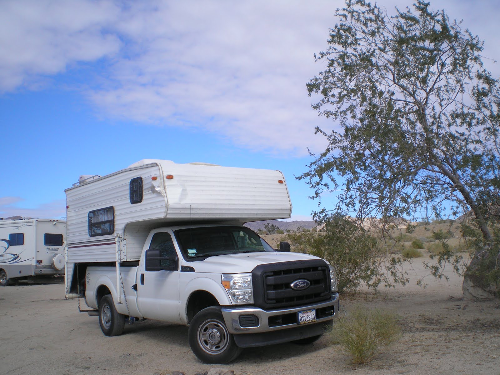
Finally, a boon-dock just off of the Cottonwood Springs Road, the southern entrance to Joshua Tree Natl Park. Because I did not check the park web site from the Palm Springs Library, where I looked up an obituary for a relative, Pansy Estes Reynolds, I drove to the Cottonwood Campground for naught. Should have realized that RVs such as the one behind my truck camper were waiting for the Cottonwood CG to open on 17 Feb. Oh well -- the price was right!
--
Links
- Anza-Borrego Desert State Park
- Salton Sea Recreational Area website
- Arizona's Picacho Peak State Park website
- Joshua Tree National Park website
Th 16 Feb Actual Route: Yuma, AZ, Walmart - Wellton
F 17 Feb Actual Route: Wellton - Dateland - Gila Bend - Butterfield Trail Dry Camp
Sa 18 Feb Actual Route: Butterfield Trail Dry Camp - Gila Bend - Casa GrandeSu 19 Feb Actual Route: Casa Grande - Eloy - Picacho Hwy/Shay Rd Dry-Camp
M 20 Feb Actual Route: Picacho Hwy Dry-Camp - Eloy - Picacho Peak State Park
T 21 Feb Actual Route: Picacho Peak State Park - Tucson - So AZ VA Hospital - Justin's Diamond-J RV Park
W 22 Feb Actual Route: Justin's D-J RV Park - Tucson - Justin's Diamond-J RV Park
Th 23 Feb Actual Route: Justin's D-J RV Park - Tucson - Saguaro Natl Pk - Gilbert Ray County Campground
F 24 Feb Actual Route: Gilbert Ray CG - Tucson - Green Valley - Tucson - San Joaquin Rd/Bopp Rd Dry-Camp
Sa 25 Feb Actual Route: San Joaquin Rd/Old Ajo Hwy Dry-Camp - Tucson - San Joaquin Rd/Bopp Rd Dry-Camp
--
Finding Campgrounds:
- RV Campgrounds from TrailerLifeDirectory.com
- Family Camping Directories from Woodalls.com
- Free campsites website
No comments:
Post a Comment