Showing posts with label Grosvenor Arch. Show all posts

Monday, December 31, 2012

Top Twelve Photos of 2012

Gila Bend, AZ


    Here's what I feel is the best photo I took during 2012.
    Shoshone Falls, which is mispronounced as "Show-Shown" by the locals, is just up the Snake River from Twin Falls, Idaho.
    More Twin Falls Photos.


    Photo of the HooDoos at Bryce Canyon National Park in Utah; taken on 8 Apr 2012.
    More Bryce Canyon Photos.


    Mount Rainer, Washington, as seen from the north-east; taken on 10 Jun 2012.
    More Mt Rainier Photos and yet additional photos.


    Mount Lassen, California, the southern-most volcano in the Cascade Range, looks considerably different after the 2011/2012 winter than it did in 2011; this photo was taken on 18 Jul 2012. (Lassen NP did not open until August the previous year.) This photo was taken on 18 Jul 2012.
    More Lassen NP Photos.


    Grosvenor Arch in Utah south of Kodachrome Basin State Park; it is named for the founder of the National Geographic Society. Taken 7 Apr 2012. [Reached by a gravel road not advisable for travel by large RVs or 5th-Wheelers.]
    More Grosvenor Arch & Kodachrome Basin Photos.


    Strait of Juan de Fuca from Washington's Salt Creek County Park just after sunset. Photo taken 3 Jun 2012. [There are remnants of a former Coast Artillery Battery near the park as well as an RV Park.]
     Additional Juan de Fuca & Olympic Peninsula Photos.


    Rock formations at Kodachrome Basin State Park in Utah. Taken on 7 Apr 2012.
    Additional Photos of Kodachrome Basin State Park.


    Vista Point atop 9200' Sherman Pass with Olancha Peak just to the right of my rig. [N.B.Forest Service road not advised for large Class A RVs or large 5th-Wheelers.]


    Iconic Half Dome in Yosemite NP as seen from Olmstead Point along CA120, the Tioga Pass Road. Taken 7 Oct 2012.


    Devils Postpile NM, reached via Mammoth Lakes Road from US395. [N.B. There are travel restrictions during the summer and early fall on the Minaret Summit Rd to the Monument through the end of September.] Taken 5 Oct 2012.


    In an article in Century magazine John Muir spoke of a valley on the South Fork of the Kings almost as grand as that on the Merced River in Yosemite. The photo was taken from the Canyon View(point) on the way to Roads End past Cedar Grove. Taken on 21 Oct 2012.


    Number 12: you recommend one. Send me an e-mail with your recommendation for the 12th photo. If others send in photos which I prefer, will still keep a link to your recommendation along with your name.


    From Trevor Glenn of Mi-Wuk Village, CA: a photo of Shiprock in northwestern New Mexico.
--


Links:

--
Su 13 Jan Actual Route: Ajo Hwy bd - Tucson VA Hosp - Ajo Hwy & Mission Rd McD - Ajo Hwy bd
M 14 Jan Actual Route: Ajo Hwy bd - Mission Br Lib - Ajo Hwy bd
T 15 Jan Actual Route: Ajo Hwy bd - Mission Br Lib - Wilmont TJ's - Ajo Hwy bd
W 16 Jan Actual Route: Ajo Hwy bd - Mission Br Lib - So Tucson - Benson - Willcox - Sagebrush MH & RV Park
Th 17 Jan Actual Route: Sagebrush MH & RV Park
F 18 Jan Actual Route: Sagebrush RV Pk - Bowie - Lordsburg, NM, - Deming - Wagon Wheel RV Pk
Sa 19 Jan Actual Route: Wagon Wheel RV Pk - Deming - Wagon Wheel RV Pk
Su 20 Jan Actual Route: Wagon Wheel RV Pk - Las Cruces Walmart
M 21 Jan Actual Route: Las Cruces Walmart - Big Lots - Las Cruces Walmart
T 22 Jan Route: Las Cruces Walmart - Dollar Tree - Library - Las Cruces Walmart
--

Finding Campgrounds:
N.B. I receive nothing from Trailer Life, Woodalls, or FreeCampsites.net for including links to their free campground lookups.

Saturday, April 7, 2012

Kodachrome Basin State Park, Utah

Paradise RV Park*, Panguitch, UT

N.B. More photos have been added to the 2 previous posts for Bryce Canyon & Torrey to Escalante as of T 10 April.


    A first look at Grosvenor Arch, which is approximately 11 miles south of the entrance road to Kodachrome Basin State Park.


    Originally named Butler Arch, a National Geographic Society expedition renamed it Grosvenor Arch to honor the founder of the NGS.


    A somewhat closer view of the arch. Note that the different colors correspond to different ages wherein sediment settled to the bottoms of the lakes which covered this area of Utah.
    The tilts of the various levels was caused by geologic activity such as magma moving upward under a formation.


    The concrete walkway makes it less likely that a park or monument visitor will step on a rattlesnake or a scorpion.


    Now the double arch is much more apparent.


    Closer yet.


    Actuarial Question. How long will this arch last?


    The walk from the restroom to the arch is reputed to be 0.5 miles, but it seemed shorted than that -- even from my rig parked up the road from the sandbox.


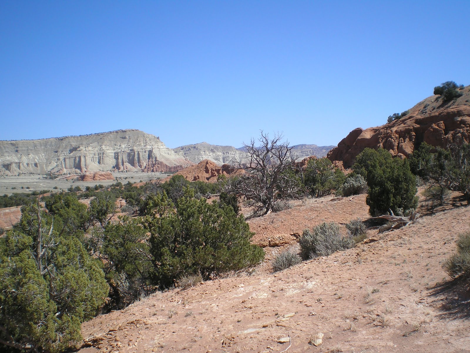
    Back in the Kodachrome Basin State Park after a trip to Grosvenor Arch in Giant Staircase-Escalante Nation Monument, the name of the game is sedimentary pipes (aka sandstone pipes). The two formations are still a bit to fat for that categorization.


    Since I was shooting into the sun with my hand as a sun-screen [it was too windy to wear my hat], the red surface is only visible on the formation to the right.


    Another view of different strata behind a dead juniper.


    A pipe across the road catching some afternoon rays!


    Between the two junipers, which incidentally are growing at an elevation of 5800 feet, there are two pipes in the distance and the horse wrangler's horse trailer somewhat closer. Yes, instead of sore feet you can get a sore maximus glutus, as my late father used to call one's south side.


    At least four different colors of rocks.


    Surprise! This pipe is more gray than red.


    The pipe on the right seems to be wearing a hat (aka capstone); that become important at Bryce Canyon Natl Park.


    A morning shot of a two-tone sedimentary/sandstone pipe.


    Along the trail, which you can see if you look closely, to the Shakespeare Arch, the only arch with Kodak Basin SP.


    From a viewpoint just before one reaches the arch.


    Panning left....


    Your could walk for days -- if you had water; but, if not, the coyotoes will have another meal. :-)>


    Panning even further left....


    Roughly in the middle of the photo is the dirt road to Grosvenor Arch.


    Once more pan to the left and the dropoff into the Colorado &/or Lake Powell appears.


    The Shakespeare Arch -- which looks like "Poor Yorick's" skull in the shot.


    A somewhat blurry view taken with two hands: one to hold the camera, a second to push/click the "shutter," and a third to shade the lens with my hat.
--


Links:

--
*Paradise RV Park, 1.7 miles north of Panaguitch, UT, on US89; full hookup is $14.41, including taxes. It just opened for the year 3-4 days ago. [Next lowest rate I've encountered for a full hookup was $15 at Corte del Rey RV Park in Huachuca City, AZ.]
--

Su 8 Apr Actual Route: Kodachrome Basin State Park - Cannonville - Bryce Canyon Natl Park

M 9 Apr Actual Route: Bryce Canyon Natl Park - Panguitch - Paradise RV Park

T 10 Apr Actual Route: Paradise RV Park - Panguitch - Circleville RV Park & Country Store

W 11 Apr Actual Route: Circleville RV Park - Marysvale - Monroe - Richfield - Salina

W 12 Apr Route: Salina - Gunnison - Nephi

--

Finding Campgrounds:

N.B. I receive nothing from Trailer Life, Woodalls, or FreeCampsites.net for /including links to their free campground lookups.