Bob Scott USFS CG near Austin, NV

I left Baker City, OR on 23 Jun and got to Burns Junction, where OR78 and US95 meet, on 28 Jun. Here are a few of the photos I took between Baker & Burns Jcn (aka Jackrabbit Jcn).
St. Francis Cathedral, with a date of 1906 at the top of the front steps. [You Catholics can tell me whether that date was prior to the start of construction or when it was completed.]

The Geiser Grand Hotel, which is likely still Baker's largest. [See links below.]

[Click once to enlarge; press ESC to return here.] The Sumpter Valley, were Ira J. Lemmon settled, was the site of much hydraulic mining for many years.

Mason Dam on the Powder River; it created mile-long Phillips Reservoir.

Some daisies among the ponderosa pine needles.

At first I thought this was a rose since the wild roses in the Pacific NW tend to be purple; however, the plant on which this wildflower blossomed is clealy not a rose. [Best guess: Creeping Phlox.]

Part of the roadbed for the Sumpter Valley Railroad (aka "The Stumpdodger")is now a short hiking trail. I eschewed the chance to walk it in order to mush on to the Grant County Fairgrounds in John Day.

The Strawberry Range; the highest peak is called Strawberry Mtn.

Strawberry Mtn (elev: 9038') as seen from the middle of US26.[N.B.While I first pulled this stunt on US395 south of Alturas, you might end up as flat as one of Jonathan Winters' "sailcats" if you try it on most U.S. highways in the Golden State.]

The valley where Prairie City is located.
The back side of Strawberry Mtn directly over the log cabin or barn.

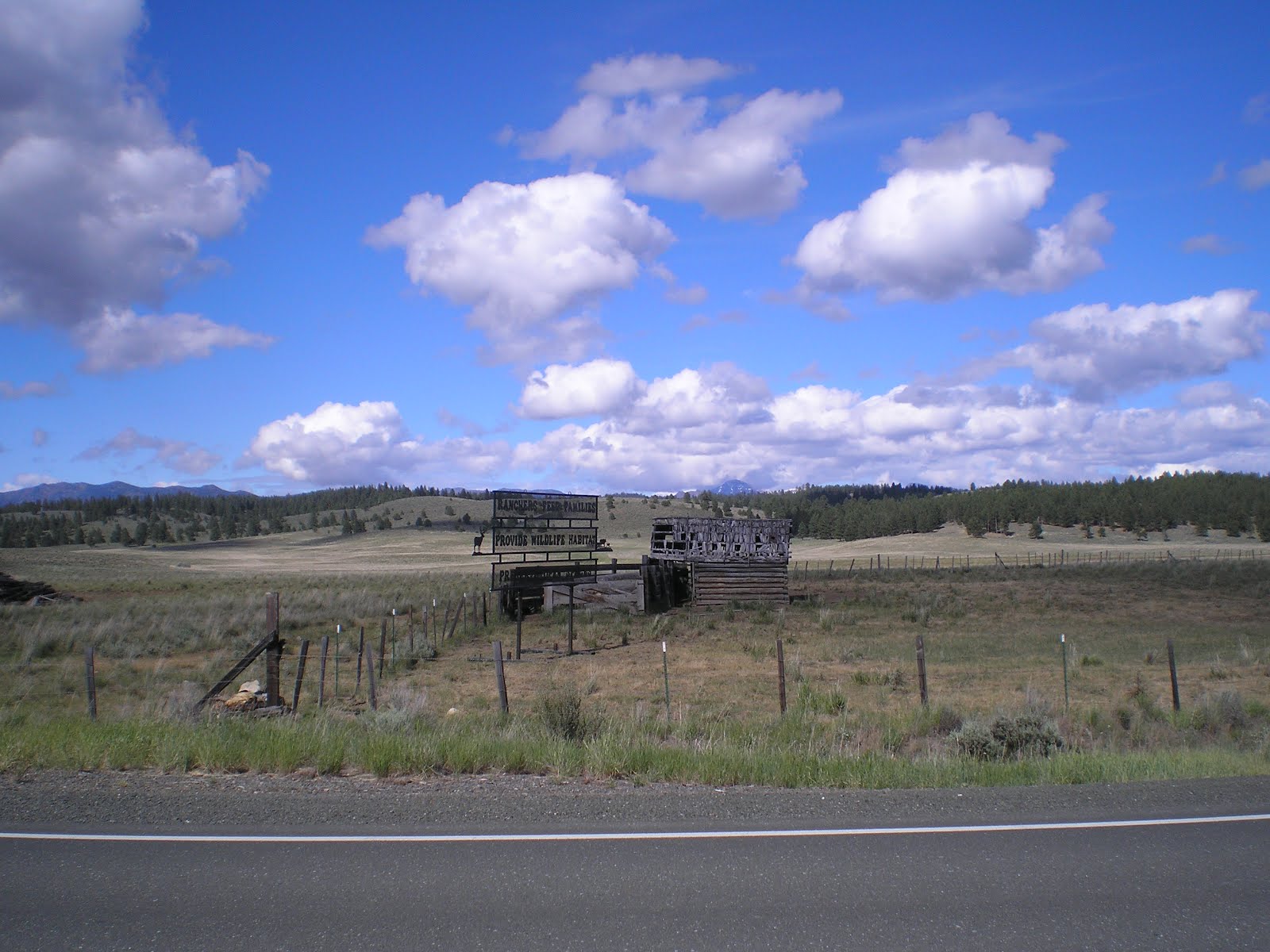
Just below the end of the pines and green prairies as I head for the lower, but not necessarily drier climate in and around Burns.

A sunset from the Crystal Crane Hot Springs near the widespot in the road called Crane. I skipped the hot springs since the owner warned me about 160 degree water. [I'm not a lobster!]

If you tend to fall asleep while driving on straight roads, avoid SE Oregon and large parts of Nevada.

Aren't a lot of backpackers around these parts, Pardner. [Note the horse-trailers in this saddle at 5087'.]

The mountains with snow in the distance are likely the Warner Mountains in California's Modoc County.

[Click once to enlarge; press ESC to return here.] To the left of the tree, the Warner Mtns again. To the right, the remnants of a former RV Park. [Not shown, the remains of a gas station, cafe, and motel.] Across US95, a truck scales, which apparently operates remotely, thus cutting the payroll in the Oregon Dept. of Transportation.
--
Links:
- Photos, history, etc. of St. Francis deSales Cathedral in Baker, OR
- Brief Wikipedia article on Geiser Grand Hotel in Baker
- History of Suumpter, OR
- OregonPhotos.Com images of Strawberry Mtn & Lake
- Crystal Crane Hot Sprs website
- Warner Mtns of NE Califoria and Southern Oregon
Su 1 Jul Actual Route: Mill Creek BLM CG - Austin - Bob Scott CG
M 2 Jul Actual Route: Bob Scott CG - Austin - Yomba Indian Resv - Ione - Berlin-Ichthyosaur State Park
T 3 Jul Actual Route: Berlin-Ichthyosaur SP - Gabbs - Middlegate Station - Sand Mtn Rec Area
W 4 Jul Actual Route: Sand Mtn Rec Area - Fallon - Sage Valley MH & RV Park
Th 5 Jul Actual Route: Sage Valley MH & RV Pk - Fallon - Silver Springs - Ft Churchill State Historic Park CG
F 6 Jul Actual Route: Ft Churchill SHP - Silver Sprs - Dayton State Park
Sa 7 Jul Actual Route: Dayton State Park - Virginia City - Carson City Walmart
Su 8 Jul Actual Route: Carson City Walmart - C.C. McDonalds - Geneo - Minden - Nevada Beach CG, Zephyr Cove
M 9 Jul Route: Nevada Beach CG - So L Tahoe - Incline Village - Mt Rose
Finding Campgrounds:
- RV Campgrounds from TrailerLifeDirectory.com
- Family Camping Directories from Woodalls.com
- Free campsites website
- Info on finding BLM Campgrounds
No comments:
Post a Comment