Grand Canyon Natl Park with More Photos
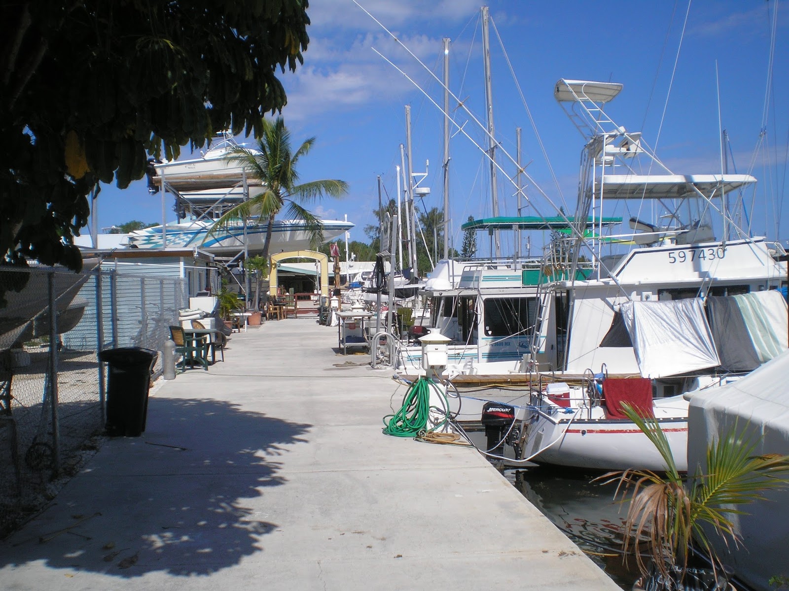
San Angelo, TX, Library
Because a classmate, John Wylie, sent me some great photos of Grand Canyon taken by professional photographers, I've decided to recycle my previous post on that park.
A link to the photos is the first in the Links Section below.

I had intended to stay at the North Rim of the Grand Canyon, but, as with Cedar Breaks, I neglected to check the NPS website. North Rim, which has an average elevation of 8000', roughly 1000' higher than the South Rim, typically does not open til mid-May.

Because the North Rim was still closed on 13 April when I took these photos, I had to do an "End Around" to Desert View, which is roughly 215 miles from the North Rim.
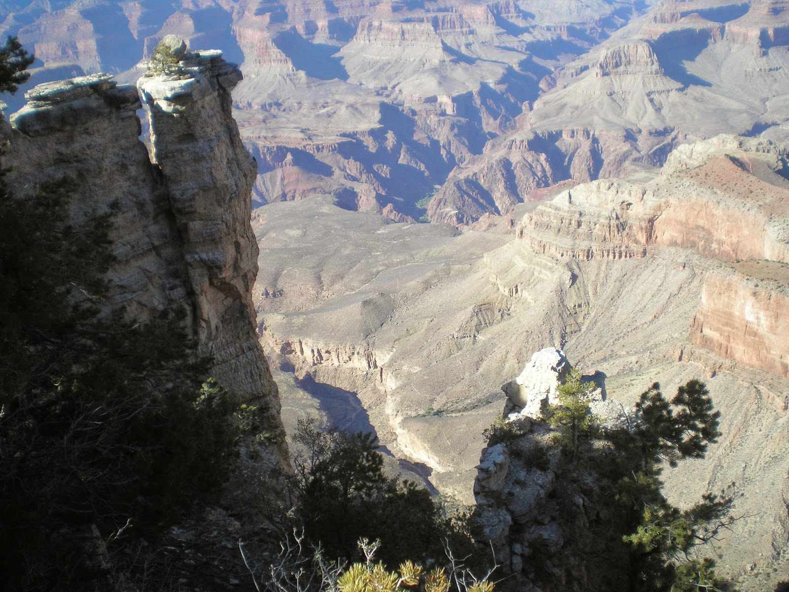
I believe the butte in the above photo is Espejo Butte as seen from near Desert View.

Looking to the left (west) down the Colorado River from Desert View. Geologist have names for each of the layers you see. In most case they took millions of years to form.

This photo was taken in the Desert View area just to the left of the above photo but looking more to the northwest than the west. There is a sandbar just to the left of center in this photo, but there appear to be rapids along the base of the cliff across the river from the sand.

Again taken farther to the left but looking north. (Note the same almost man-made rock formation in the foreground of this and the photo above.)

Zooming in on the other side of the canyon, one sees very little vegetation on this south-facing canyon wall.

Geologist estimate that at the end of the last Ice Age 12,000 yrs ago the flow of the Colorado River was 10 times it current volume.

There was a 25-35 mph wind on 13 April with some gusts up to 50 mph. Result: dust.

A plaque explaining the construction of Mary Colter's Desert Vew Watchtower. The 70' tower was done with native stone and had a 40-ft kiva inside of its base. Hopi artist Chester Dennis incised petroglyphs on some of the interior walls. [A petroglyph is made by chipping away a darker surface to reveal lighter-colored rock beneath -- but in a particular pattern of significance to the artist.]

The completed Desert View Watchtower as it looks today.
The black Vishnu Basement rocks at the bottom of the canyon are believed to be 2 billion yrs old.

A shot down the Colorado from Navajo Point, the first viewpoint to the west of Desert View.
The Grand Canyon is somewhat unique in that most large canyons are in mountainous terrain rather than on a desert plateau.

Given the dryness of much of what is visible in this photo from Lipan Point, it's not surprising that the Grand Canyon has vegetation of 3 of the 4 American deserts: Sonoran, Great Basin, and Mojave. Only the Chihuahuan Desert, which is largely in Mexico and states bordering it, is missing.

From Zuni Point a relatively straight stretch with a view of the river.

Zooming in at Moran Point for a closeup of the river despite the dust.

Little tooo dark to see what's in the shadows at the bottom of the canyon. Hwr, that portion of the Colorado which is in the sun would likely give white-water rafters a bouncy ride.

Because of the large crowd at Grandview viewpoint (many vehicles parked off of pavement) I skipped it and stopped next at Yaki Point. The canyon which runs from near the dark-capped peak to the left appears to be Bright Angel Canyon. And the peak with the dark cap is one of those on the North Rim.

Probably another photo from Yaki Point, which is the 1st viewpoint to the east of the Visitor Center.

A photo from Mather Point, which is near the most populous area of the park -- the Grand Canyon Visitor Center and its many parking lots.


Panning downward and slightly to the left....
While the Colorado is not as brown as the Rio Grande here in New Mexico, it's surprising to see this much blue.

One final photo of the well-named Grand Canyon from Mather Point.
If you visit Grand Canyon NP consider using the free shuttle buses, which take you to viewpoints inaccessible by one's vehicle. For more info on the shuttles see the Park Guides published each season.
[Return to the
top of the page]
Links:
Routes:
Problem getting Blogger to display previous [Actual] Routes
--
- Sa 16 Jan Actual Route: Sherwood Way W/M - Lib - Visitor Ctr - Sherwood Way W/M
- Su 17 Jan Actual Route: Sherwood Way W/M - Visitor Ctr - Sherwood Way W/M - Shannon Hosp ER - W/M
- M 18 Jan Actual Route: Sherwood Way W/M - Lib - Visitor Ctr - Sherwood Way W/M
- T 19 Jan Actual Route: Sherwood Way W/M S/A VA Clinic - Lib - Sherwood Way W/M
- W 20 Jan Actual Route: Sherwood Way W/M - Lib - Visitor Ctr - Sherwood Way W/M
- Th 21 Jan Actual Route: Sherwood Way W/M - GM Welding - Lib - Visitor Ctr - Sherwood Way W/M
- F 22 Jan Actual Route: Sherwood Way W/M - Lib - Visitor Ctr - Sherwood Way W/M
- Sa 23 Jan Actual Route: Sherwood Way W/M - Lib - Visitor Ctr - Sherwood Way W/M
- Su 24 Jan Actual Route: Sherwood Way W/M - Visitor Ctr - Sherwood Way W/M
- M 25 Jan Route: Sherwood Way W/M - Lib - Visitor Ctr - Sherwood Way W/M
Finding Campgrounds:
N.B. I receive nothing from Trailer Life, Woodalls, or FreeCampsites.net for including links to their free campground lookups.