Sonora, CA, Library

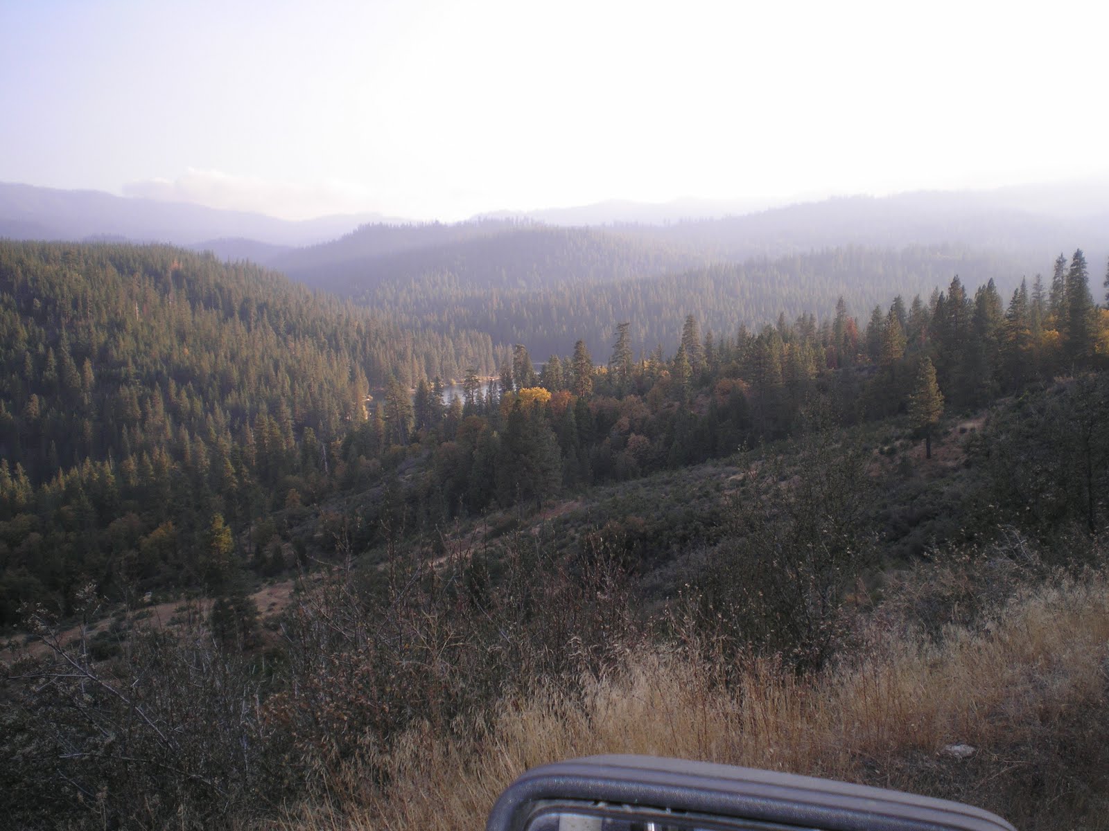
As one drives from Grant Grove toward Cedar Grove it pays to wait for clearer spots from which to take photos. Nonetheless, these photos, taken on 20 Oct, give a hint of things to come. [These photos were taken on 20 Oct.]

A view of the higher peaks to the east of the South Fork of the Kings River.

The clouds were also a hint of something to come since there was an approaching front.

There appears to be a better vantage point down the road.

Because of the steepness of these canyons, it's likely that the old "Put Everything Out" policy of 50+ years ago was not followed.

Note the lack of trees on many of these ridges.

Kings Canyon Lodge, which is next to the road, was apparently still open; it's located on the right in one of the few flat spots in this valley and is one of the few spots to buy high-priced gas if you forgot to buy lower-priced gas outside of the park.

Probably the Middle Fork of the Kings River, which drains the majority of the northern part of Kings Canyon National Park. [Click once to enlarge; press ESC to return here.]

Click once to enlarge; press ESC to return here.] The South Fork of the Kings.

Panning further up the South Fork from the above photo.

A look downstream at a section of the South Fork which likely is fished much -- except perhaps by mountain climbers with ropes.

A vari-colored cliff on the other side of the South Fork.

Panning up and to the right, a sharp ridge catches the sun's late afternoon rays.

A shot up the South Fork of the Kings on 21 Oct from where I parked [for free] in Sequoia National Forest.

Looking downstream, I saw a fish rise in the sunlight just below the large rock. For those who are familiar with the Clark Fork of the Stanislaus River, the S.F. of the Kings is about twice the size of the Clark Fork. Many holes can't be reached unless you're adept at rock-hopping.

This viewpoint, one of the best in the park, is called Canyon View.

Click once to enlarge; press ESC to return here.] John Muir was certainly right when he said that the Valley of the Kings rivaled Yosemite's Valley on the Merced.

Zooming in on the headwaters of the S.F. of the Kings from the Canyon View vista point.

North Dome (8717') as seen from Roads End, the end of the road from Grant Grove past Boyden Cave and Cedar Grove to the start of where one's pedal extremities get a work-out.

Grand Sentinel (8518') on the south side of Roads End.

The clouds up the canyon were caused by an approaching front; it rained overnight and the rain turned to snow at the Azalea Campground near Grant Grove.
Click once to enlarge; press ESC to return here.] A view of Hume Lake from the road thereto.

Click once to enlarge; press ESC to return here.] The story of Hume Lake's transition from a lumber mill pond to a part of Sequoia National Forest.

The left, or north-east end, of the lake.

Panning right....

Panning right....

Panning right....

Panning right....

Panning right to the southwest or inlet end of the lake.

Zooming in on the Christian Camps, which appears to occupy the property where the Hume-Bennett Lumber Mill stood. A 72-mile flume sent finished lumber to Sanger in the Central Valley.
--
Links:
- For links on Sequoia & Kings Canyon National Park see the next post
- Wikipedia article on Boyden Cave
- Wikipedia article of Hume Lake
- Hume-Bennett Lumber Company blog by a blogger perhaps named Matthew
- History of the Hume Lake to Sanger Flume
- Photos and information by Linn Gasaway on the restored Dolbeer Engine at the Hume Lake Ranger Station
Th 8 Nov Actual Route: N.F. Tuolumne Riv bd - Sonora Lib - Sonora Walmart
F 9 Nov Actual Route: Sonora Walmart - Sonora Lib - Sonora Walmart
Sa 10 Nov Actual Route: Sonora Walmart - Sonora Lib - Sonora Walmart
Su 11 Nov Actual Route: Sonora Walmart - Sonora Lib - Junction Shopping Ctr - Sonora Walmart
M 12 Nov Actual Route: Sonora Walmart - Sonora Lib - Sonora Walmart
--
Finding Campgrounds:
- RV Campgrounds from TrailerLifeDirectory.com
- Family Camping Directories from Woodalls.com
- Free campsites website
- Info on finding BLM Campgrounds
No comments:
Post a Comment