Showing posts with label Mount Ranier. Show all posts

Wednesday, June 20, 2012

A June Night in the Naches, WA, City Jail, 1960

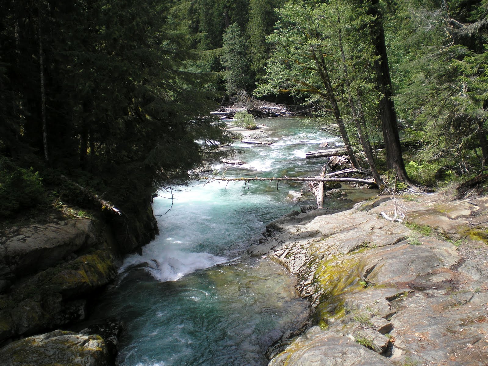
Union Creek CG, Phillips Reservoir, OR

    You are no doubt wondering what this miscreant did to be incarcerated for a night in the Naches City Jail, which was in the building you see to the right. And I had an acomplice!
    The building you see to the right was, in 1960, the town hall, fire department, police station, and jail. However, we weren't caught stealing apples. Rather, the differential on my '54 Ford locked up when I stopped going up White Pass to pull it out of overdrive.

    We had to be towed back to the nearest town, Naches, and the all-everything fellow who wore many hats, including that of dog-catcher, was a friend of the mechanic who was going to replace the innards of the differential. So he offered to let Bill Topogna and me, ROTC cadets from San Jose State, spend the night in the slammer, the door of which you see to the right.


    The next morning we drove to Western Union to pick up the $75 which my father had wired to repair his car. Then the mechanic and his friend drove past the outskirts of town where a wrecked Ford with Fordomatic allegedly had the same rear end. (As it turned out, that was not true, but my brother David, who was a bit of a hot-rodder, was happy to have more power because of the higher-speed rear end; of course, gas was cheap in those days so the lower gas mileage was not a problem.)
    Sometime after 1960 the City of Naches added a brick extention to the back of the building, as you can see to the right.


    But I remember the jail as being white. To the right was the drying tower which the fire department used then to dry their fire hoses after either a trial run or the real thing. By the end of the day we headed up White Pass again and successfully reported for ROTC Summer Camp the next day.
    And that's the story of my life behind bars.


    This year I was headed the opposite direction when I returned to Naches. But rather than use I-82 to travel to the Tri-Cities [Richland, Pasco, & Kennewick] Area, I elected to follow US22 so that I could see the farmland of the Yakima Valley.
    This photo of Mt Ranier was taken from the Legends Casino parking lot of the Yakima Indian Reservation near Toppenish. [Heard an NPR profile of an Indian comedian with a surname of Hill who liked to tell audiences, "White men used to get Indians drunk and take there money; now, with Indian casinos...." He rarely had to complete the statement. A real role reversal!]


    The Yakima Valley has volcanic soil and plenty of water in a climate which is much warmer than the flanks of the mountain in the distance. Not only did I see apple orchards and cold storage buildings but also vineyards, onion plots, herbs, alfalfa, wheat....in other words, just about any crop not requiring a Mediterranean climate.


    Zooming in on Mount Ranier....


    As I got further south along US22, Mount Ranier seemed less dominant.


    Panning to the right there's another snow-capped peak in the distance. Also, I couldn't identify the crop being grown other than that it seemed like some sort of herb.


    Don't believe the striped area is a dam; rather it may be a farmer's method of maintaining his farm. The Yakima River is in the right center of the photo.


    Another view of the Yakima River after I walked back to where I parked my rig.


    Looking to the south-east note the absence of any hills or mountains. Why? That's the Tri-Cities area where the Yakima River joins the Columbia River not too far from the confluence with the Snake River.
--


Links:

--

Th 21 Jun Actual Route: Island City Walmart - La Grande VA Clinic- LDS Fmy History Center - Baker

F 22 Jun Actual Route: Baker Lib - Baker Shell Truck Stop

Sa 23 Jun Actual Route: Baker Shell Truck Stop - Baker Lib - Lake Phillips -Union CG

Su 24 Jun Actual Route: Union CG

M 25 Jun Actual Route: Union CG - Sumpter - John Day - Grant County Fairgrounds RV Park

T 26 Jun Route: Grant County Fairgrounds RV Park - John Day - Idlewild USFS CG

--

Finding Campgrounds:

N.B. I receive nothing from Trailer Life, Woodalls, or FreeCampsites.net for including links to their free campground lookups.

Park & Ride to Mount Ranier NP for Free


[Click once to enlarge; press ESC to return here.]
    Because it is not only the highest point one can reach in Mt Ranier Natl Park by vehicle but also reachable from the two southern entrances, Nisqually and Stevens Canyon, the Paradise area is often swamped with traffic.
    Here's what the NPS writes on p.4 of their May-June 201 "Lake Tahoma News": "Parking in Paradise. Due to the popularity of the Paradise area, parking in the upper Paradise lot (adjacent to the Visitor Center) is limited to 2 hours and is generally full by 1100. Parking for longer than two hours is permitted in the lower Paradise lot and along the Paradise Valley Road."

    But there are some workarounds: using free weekend shuttles. Again from the "Lake Tahoma News" here's info on the shuttles: "[From 22 Jun to 2 Sep] free shuttle service is available from Longmire to Paradise on Fridays, Saturdays, and Sundays. Additional free shuttle service between downtown Ashford and Longmire is available Saturdays and Sundays."

    "The Ashford-to-Longmire shuttle begins service at 9:15, with buses leaving every 20 minutes until 10:45, then 75 minutes thereafter. The last shuttle leaves Ashford at 5:00 p.m., with the final shuttle bus returning from Longmire by 8:15 p.m. Shuttle service is free, but park entrance fees apply." [See links below.]
[MRphoto4]
    If you're driving an RV or pulling a trailer, note that there are some Maximum Length Restrictions for the three largest campgrounds.

  • Couger Rock*: RV 35'/Trailer 27'
  • Ohanapecosh*: RV 32'/Trailer 27'
  • White River: RV: 27'/Trailer 18'
    Note that many of the park facilities were built by the Civilian Conservation Corps in the 1930s & 1940s, when both vehicles and recreational vehicles were much smaller.
    Three smaller CGs, Ipsut Creek, Mowich Lake, and Sunshine Point, have 29, 30, & 18 site respectively, but they too likely have length restrictions.
--
Links:
  • National Park Service website pages for Mount Ranier
  • Morton Depot Info Center, where a woman told me the gravel road to Mt St. Helens was closed til July
--

F 15 Jun Actual Route: Pasco Walmart - Walla Walla VA Hospital - Walla Walla Walmart

Sa 16 Jun Actual Route: Walla Walla Walmart - Milton-Freewater, OR - Pendleton - Pendleton Walmart

Su 17 Jun Actual Route: Pendleton - Emigrant Springs State Heritage Area

M 18 Jun Actual Route: Emigrant Springs SP - Perry - La Grande - Island City Walmart

T 19 Jun Actual Route: Island City Walmart - La Grande - Island City Walmart

W 20 Jun Actual Route: Island City Walmart - La Grande - LDS Fmy History Center - Island City Walmart

Th 21 Jun Actual Route: Island City Walmart - La Grande VA Clinic- LDS Fmy History Center - Baker

F 22 Jun Actual Route: Baker Lib - Baker Shell Truck Stop

Sa 23 Jun Actual Route: Baker Shell Truck Stop - Baker Lib - Lake Phillips -Union CG

Su 24 Jun Actual Route: Union CG

M 25 Jun Route: Union CG - Sumpter - John Day

--

Finding Campgrounds:

N.B. I receive nothing from Trailer Life, Woodalls, or FreeCampsites.net for including links to their free campground lookups.

Thursday, June 14, 2012

Exodus from Mount Rainier National Park

Walla Walla Library, WA


    A waterfall [Silver Falls?] along the road back to the Ohanapecosh Campground.


    A glimpse of the top of Mt Rainier [over the top of the Whitman Crest?] on the first clear day in a couple of weeks; taken from WA123 while driving north toward Cayuse & Chinook Passes on WA410.


    As a guess, Shriner Peak (elev: 5834').


    Another peek at the top of Mt Ranier.


    At last, a clearer view between the trees.


    A much-more wide-open view of Mt R.


    Ski area in the trees to the right? Naw. It's an avalance path.


    Waterfall visible from WA123 near the only tunnel between Ohanaceposh and the two passes on WA410


    Several small trilliums along the left side of theroad just above the aforementioned tunnel.


    A closeup of a trillium, which is the Ohio State wildflower.


    Probably the best view of Mount Ranier towering above the White River.


    Thought this shot was better than the one above, but zoomed in too much.


    Zooming back out....


    Seymour Peak (elev: 6337') from the parking area just below Chinook Pass.


    Panning left....


    Rainier Fork of the American River below WA410, the Mather Memorial Highway.


    Panning slightly right....


    From further down WA410 looking back at Chinook Pass with Seymour Peak on the left.


    Incidentally, when I took a photo of two female bikers (pedal-type) just below the pass as evidence that they indeed had made it, thought it must have been a rather steep climb; however, as you can see, it's a long, steady climb.


    My rig blends in rather well with the east-side snow.
--


Links:

  • National Park Service website for Mount Ranier Park
  • Live Webcam on Mount Ranier
  • Use link on Mt Ranier Webcam to reach Mt. St. Helens webcam
--

M 11 Jun Actual Route: Ohanapecosh CG - Cayuse Pass - Chinook Pass - Little Naches USFS CG

T 12 Jun Actual Route: Little Naches USFS CG - Cliffdell - Niles - Naches - Yakima - Buena bd

W 13 Jun Actual Route: Buena bd - Toppenish - Mabton - Prosser Lib - Richland Walmart

Th 14 Jun Actual Route: Richland Walmart - Kennewick - Pasco Lib - Pasco Walmart

F 15 Jun Actual Route: Pasco Walmart - Walla Walla VA Hospital - Walla Walla Walmart

Sa 16 Jun Actual Route: Walla Walla Walmart - Milton-Freewater, OR - Pendleton - Pendleton Walmart

Su 17 Jun Actual Route: Pendleton - Emigrant Springs State Heritage Area

M 18 Jun Actual Route: Emigrant Springs SP - Perry - La Grande - Island City Walmart

T 19 Jun Actual Route: Island City Walmart - La Grande - Island City Walmart

W 20 Jun Route: Island City Walmart - La Grande - Island City Walmart

--

Finding Campgrounds:

N.B. I receive nothing from Trailer Life, Woodalls, or FreeCampsites.net for including links to their free campground lookups.

Monday, June 11, 2012

Preview of Mount Ranier National Park Photos

Buena, Washington


    Laughingwater Creek just prior to the Stevens Creek Entrance Kiosk.


    Clearly this water comes from melting snow.


    A first view of the top of Mt Ranier through the clouds.


    Walking down the road and zooming in....


    Wild strawberries on Backbone Ridge.


    Explanation of the effect of glaciers. [Click once to enlarge; press ESC to return here.]


    Box Canyon from the bridge.


    A closer view of the top of Mount Ranier, which has 26 glaciers.


    One large switchback on the Stevens Creek Road across the canyon.


    A look back down the Stevens Creek Canyon.


    A white trilium, the Ohio State Flower


    The snowy eastern side near Chinook Pass on WA410.
--


Links:

--
[For Routes & CG Finders see a post below.]