Though this trip was made from Monday 20 June to Wednesday 22 June I've decided to make it the top post since it includes a visit to a cousin who lives a bit off of the main highways as well as an attempted visit to another who lives at the junction of two well-traveled highways.

After spending Sun 19 Jun at the Eagle Creek USFS Campground I drove south to Weaverville; however, Trinity Lake was partially obscured by the trees which have grown up all its shores.

This is another view from the Vista Point on Trinty Lake north of Trinity Center.

Click 1 or 2 time to enlarge this plaque and read a story of how the Trinity County gold-mining sites have now become the site of a 21st century goldmine: recreation.

A view to the east from just below Hayfork Summit on SR3.

My rig at the Hayfork Summit, whose elevation is c4500', on SR3.

While I had expected something like a miner's cabin for Dennis Lemmon's abode, his house appears to be only 25-30 years old. That's Dennis, oldest offspring of Loyal Jr & Lillian Ikola Lemmon, in front of his house near the mountain metropolis of Hyampom.

And in front of the back porch, from the right, Dennis, Giselle/Gisele, lady friend of Dennis, and Linda, from San Diego and a friend of Gisele.

While I thought I might have to retrace my tracks back through Hayfork, where the road is closed for up to 30 minutes while they work on the climb over Hayfork Summit to Douglas City & Weaverfille, Dennis suggested I take USFS #66 to Burnt Ranch on US299; he had checked the route for snow a couple of weeks ago using one of his motorcycles.

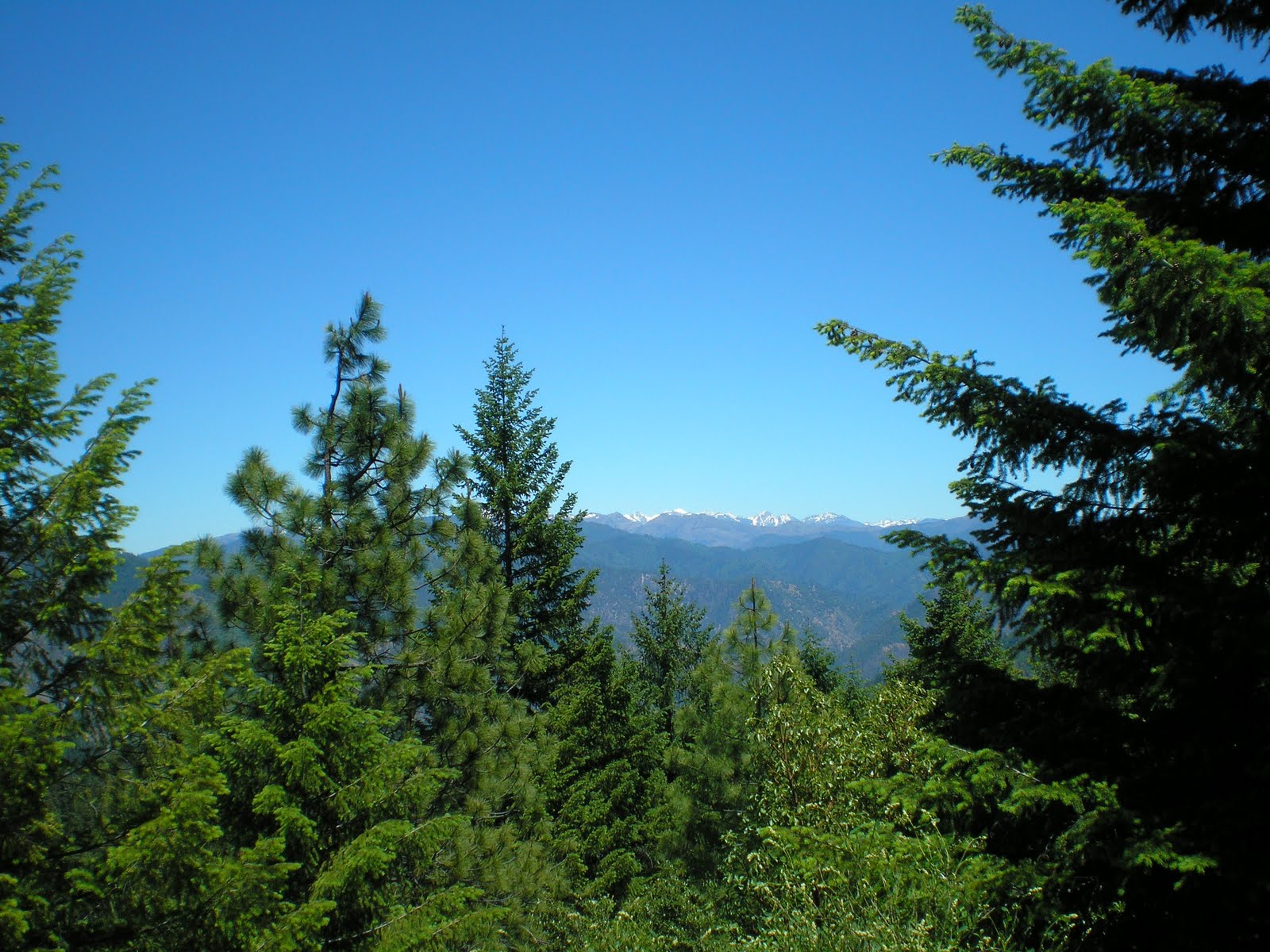
A view to the northeast from USFS66 at the Trinity Alps.

As I walked back to my rig from taking the above photo of the Trinity Alps I noticed an orchid-like flower in the shade.

A view toward the coast from the ridge-top from which I took the two previous photos.
A better view of the Trinity Alps.

A more distant view of Trinity County's mountains.

A view of the South Fork of the Trinity about 10 miles east of Willow Creek (town & creek
--
N.B.The Salyer Dump Station on US299 is located in the Rest Area about 2 miles east of Salyer.
--
Links:
- Wikipedia article on Willow Creek, CA
- Wikipedia article on Mendocino County Seat, Ukiah, CA
- Wikipedia article on Yountville, CA
- Town of Yountville website
Su 26 Jun Actual Route: Ft Bragg - Camp One, Jackson Demo State Forest - Dunlap CG, Jackson Demo State Forest
M 27 Jun Actual Route: Dunlap CG, Jackson Demo State Forest - Willits - Ukiah - L Mendocino, Che-ka-ka CG
T 28 Jun Actual Route: L Mendocino, Che-ka-ka CG - Ukiah - Geyserville - Calistoga - Yountville - Napa
W 29 Jun Actual Route: Napa - Benicia/Martinez Bridge - Danville - Milpitas - Morgan Hill - Henry Coe State Park
Th 30 Jun Route: Henry Coe State Park - Morgan Hill Palo Alto VA Hosp
No comments:
Post a Comment