After doing some things on-line at the Half Moon Bay Branch Library I drove SR92 and I-280 to the Golden Gate Bridge; traffic was slow because of construction of some new on-ramps at the southern end of the bridge. Had intended to take some photos from the Vista Point at the north end of the bridge, but the fog was so thick that barely anything was visible. Of course, once through the Waldo Tunnel and into Marin Conty there was no fog.

Turned off of US101 at Sir Francis Drake Boulevard, bought some groceries at the San Anselmo Safeway, uploaded the blog post I had written while boondocking on Tunitas Creek Road, and finally arrived at Point Reyes National Seashore. Was surprised to learn that oaks in Marin County are dying from a spore or pathogen which causes "Sudden Oak Death" (SOD); it was first discovered in 1995. Apparently it only affects the coastal oaks since the much larger valley oaks, such as those at Indian Grinding Rock State Park, have not been affected.

A shot across the southern end of Tomales Bay. The houses along the west side of the bay seem to be newer and bigger when compared to the much older fishing shacks along the eastern shore.

More houses along the western shore of Tomales Bay. [Incidentally, there are four bays in the area: 1)Bolinas Bay, just north of Stinson Beach; 2)Drake's Bay, to the southeast of the Point Reyes Lighthouse; 3)Tomales Bay, the longest but narrowest bay as well as perhaps the most shallow; and 4)Bodega Bay, where there are many more boats moored at the docks.]
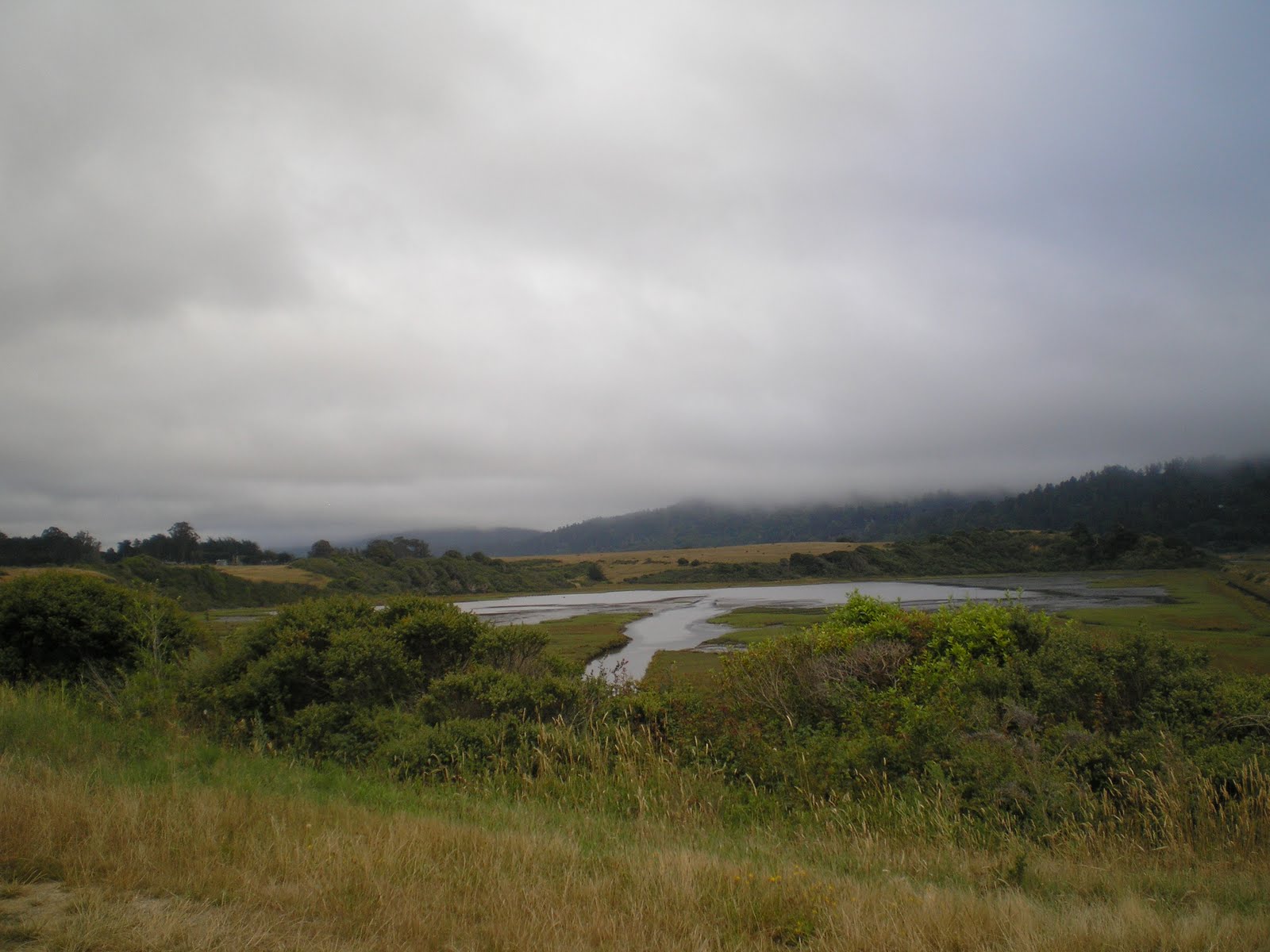
The very southernmost end of Tomales Bay, where it appears that at one time someone attempted to drain a portion of the bay, much as had been done in the Sacramento-San Joaquin Delta, to provide some farmland.

An Island Not Yet Obscured by Fog: Hog Island. Since the fog was thickening I parked next to a pickup belonging to three fishermen at the water's edge and walked quickly up the road to find a spot where I could shoot through the omnipresent weeds and brush.
In fact, I turned around just past Hog Island and drove back to Marshall, near which I dry-camped for the night alongside a county road.

The Shoreline Highway's (aka SR1, the Cabrillo Highway) bridge over the Russian River. Headed upstream to Duncans Mills, where the Casini Ranch Family Campground is located. [Unfortunately, their free WiFi is slower than a banana slug on downers; of course, if you'll pay $12.50, you have faster access. Hence, Monday I'll drive to Guerniville where I'm told there is a Sonoma County Branch Library near the firehouse.]
--
Links:
- Natl Park Service web pages on Point Reyes National Seashore
- Wikipedia article on Duncans Mills
- Longer history of Duncans Mills
Sa 16 Jul Actual Route: Tunitas Creek Rd - Golden Gate Bridge - Fairfax - Samuel Taylor State Park - Point Reyes - [dry-camp near] Marshall on Tomales Bay
M 18 Jul Actual Route: Casini Ranch CG near Duncans Mills - Guerneville - Cazadero - Fort Ross - Ocean Cove CG
T 19 Jul Actual Route: Ocean Cove CG - Point Arena - Navarro Beach CG
W 20 Jul Route: Navarro Beach CG - Fort Bragg - Jackson State Demo Park, Dunlap CG
No comments:
Post a Comment