Grand Coulee Library, WA

The WA25 bridge over the Spokane River arm of Lake Roosevelt, which was created in 1942 when Grand Coulee dam was completed.

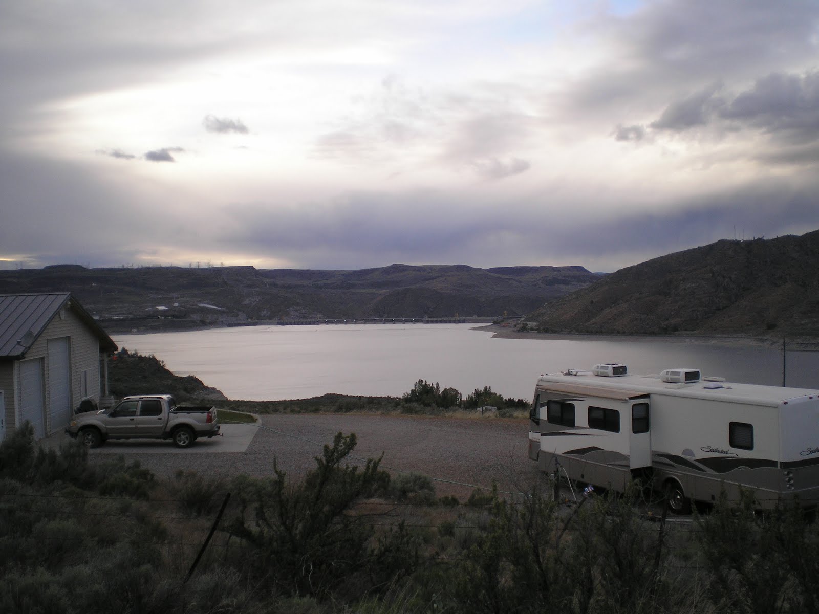
A look up the Spokane River arm

From the Miles Creston Road a view of the confluence of the two arms of Lake Roosevelt.

The first glimpse of Grand Coulee Dam.

Zooming in....

A photo from the west side of the dam showing it great length: 5223 feet (as compared with Hoover Dam's 1244 feet).

The first of three shots showing part of the left (as one look downstream) powerhouse.

Panning left, the west power house and the west side of the dam.

Most of the dam, the right/east powerhouse, and the Third Powerhouse, which was completed in 1974.
Grand Coulee Dam as seen from near the Spring Canyon Cemetery under cloudy skies.
--
Links:
- Wikipedia article on Grand Coulee Dam
- HistoryLink.Org history of Grand Coulee Dam
- Columbia River History and Purpose of Grand Coulee Dam
T 22 May Actual Route: Fort Spokane NPS CG - Creston - Wilbur - Grand Coulee Dam - Spring Canyon CG
W 23 May Actual Route: Spring Canyon CG - Grand Coulee - Steamboat Rock State Park - Sun Lakes State Park - Ephrata Walmart
Th 24 May Actual Route: Ephrata Walmart - Quincy - Wenatchee Walmart
F 25 May Actual Route: Wenatchee Walmart - Leavenworth - Nason Crk USFS CG
Sa 26 May Actual Route: Nason Crk USFS CG
Su 27 May Actual Route: Nason Crk USFS CG - Stevens Pass - Sultan - Monroe Safeway
M 28 May Actual Route: Monroe Safeway - Snohomish - Lake Stevens - Arlington bd
T 29 May Actual Route: Arlington bd - Mount Vernon - Mt Vernon RV Pk
W 30 May Route: Mt Vernon RV Pk - Oak Harbor - Ft Casey State Park
Finding Campgrounds:
- RV Campgrounds from TrailerLifeDirectory.com
- Family Camping Directories from Woodalls.com
- Free campsites website
- Info on finding BLM Campgrounds
No comments:
Post a Comment