The drive from Globe on US60 toward Show Low follows a north-easterly path and climbs over several flattish ridges before reaching the rim of the Salt River Canyon.

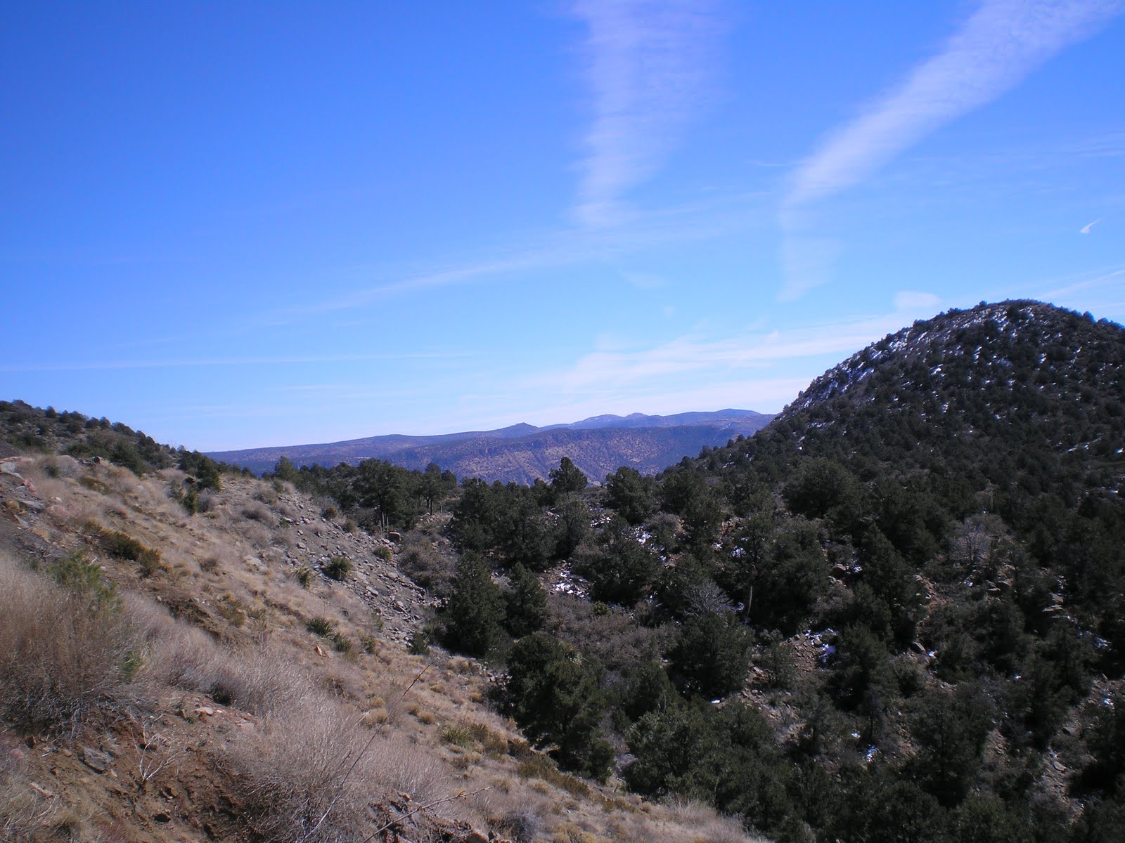
As you can readily see, there is still unmelted snow on the north and east sides of many of the ridges and peaks. [Click once or twice on a photo to zoom in.]


While there was no sign indicating a pass, this flat area where the accumulation of roadside snow was somewhat thicker seemed to be a high point on the way to the Salt River; there was a sign marking the 5000' level a bit further down the road.
Salt River Canyon
A view up the Salt River from the shade of a Joshua tree.
Link to Wikipedia article on Show Low.
T 1 Mar Actual Route: Globe - Show Low - Lakeside - Pinetop
W 2 Mar Route: Pinetop - Show Low - Snowflake - Holbrook
Nice blue sky. Overcast & foggy here in SC.
ReplyDelete